June 14, 2013 chase to West Point, Nebraska
This chase turned out to be one of the best chase days for us in 2013 as far as seeing unbelievable storm structure. Eastern Nebraska and Western Iowa was under a slight risk of severe storms from the SPC. Our focus was on a small area of 5% tornado chances in Eastern Nebraska. So that is where we headed early in the afternoon. As we drove through Western Iowa we drove through some elevated thunderstorms that produced locally heavy rain. As we hit the Nebraska border skies cleared and we continued on. We finally stopped at West Point, Nebraska as the warm front and triple point where just off to our south. We stopped to top off the car with gas and grabbed a snack when a lone thunderstorm started to develop to the west of West Point. There was some convection to the SW heading in our general direction but we decided not to chase any of those storms as they did not look that great and we knew being near the warm front was the place to be. We where rewarded for sticking with the West Point storm.
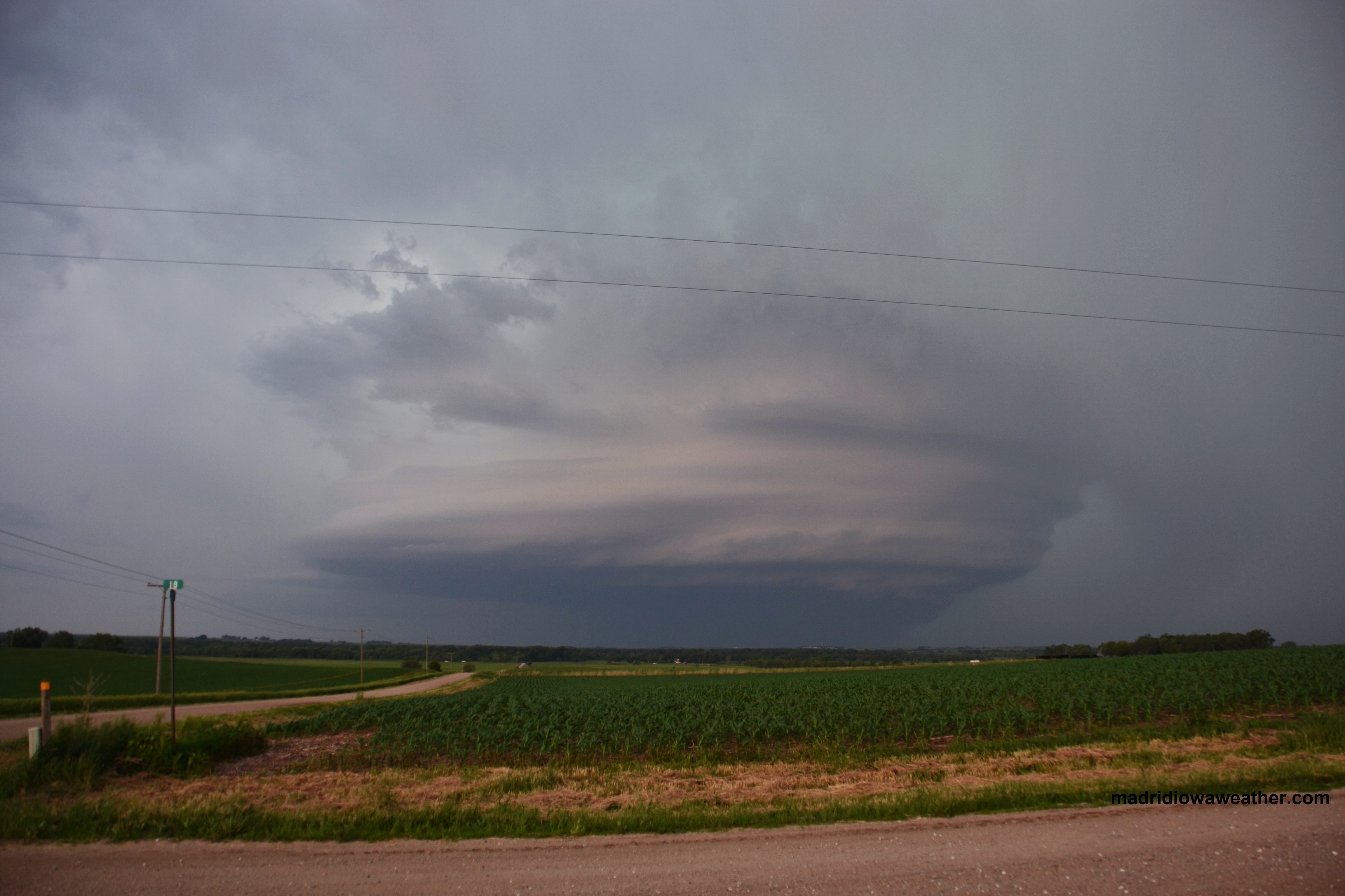
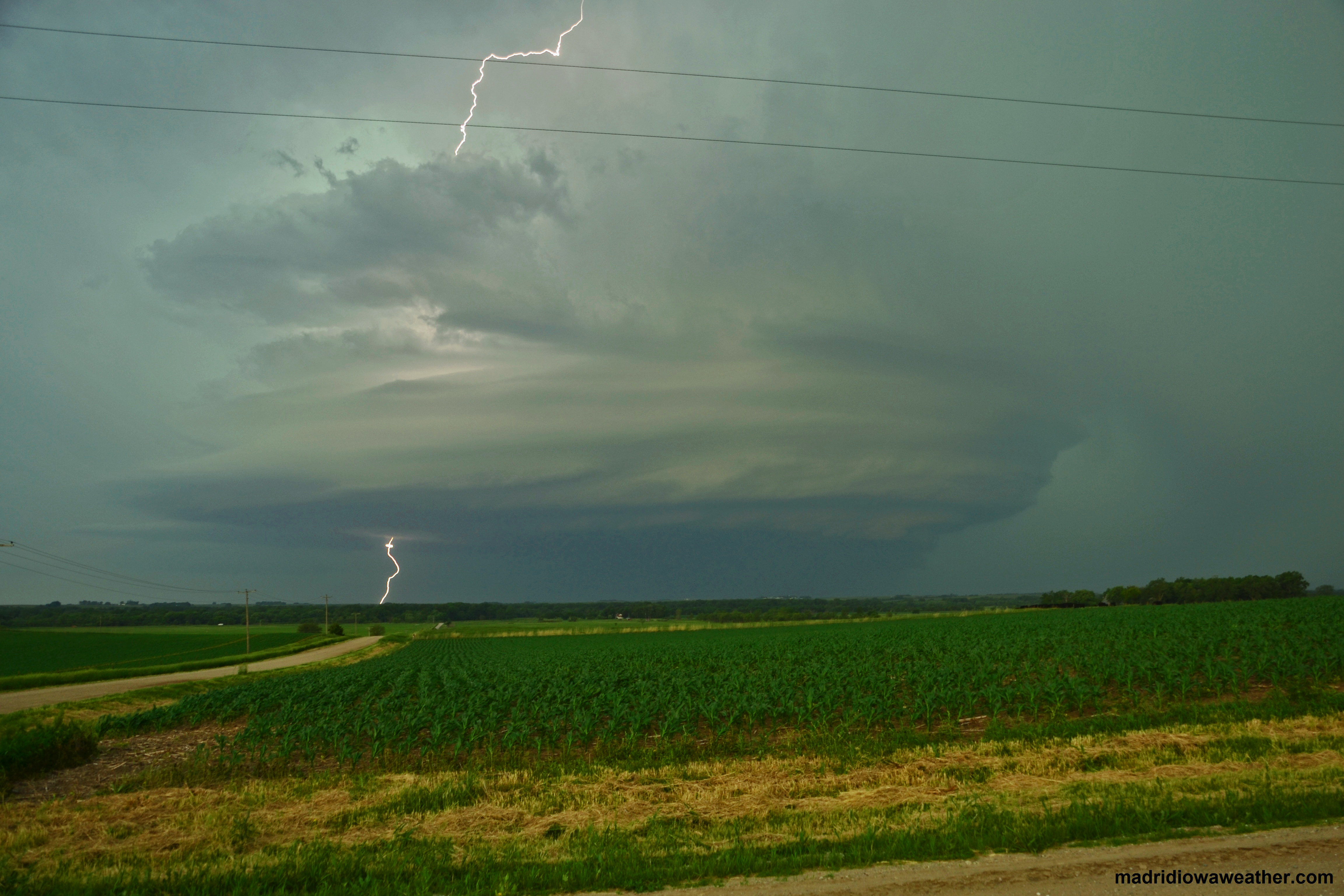
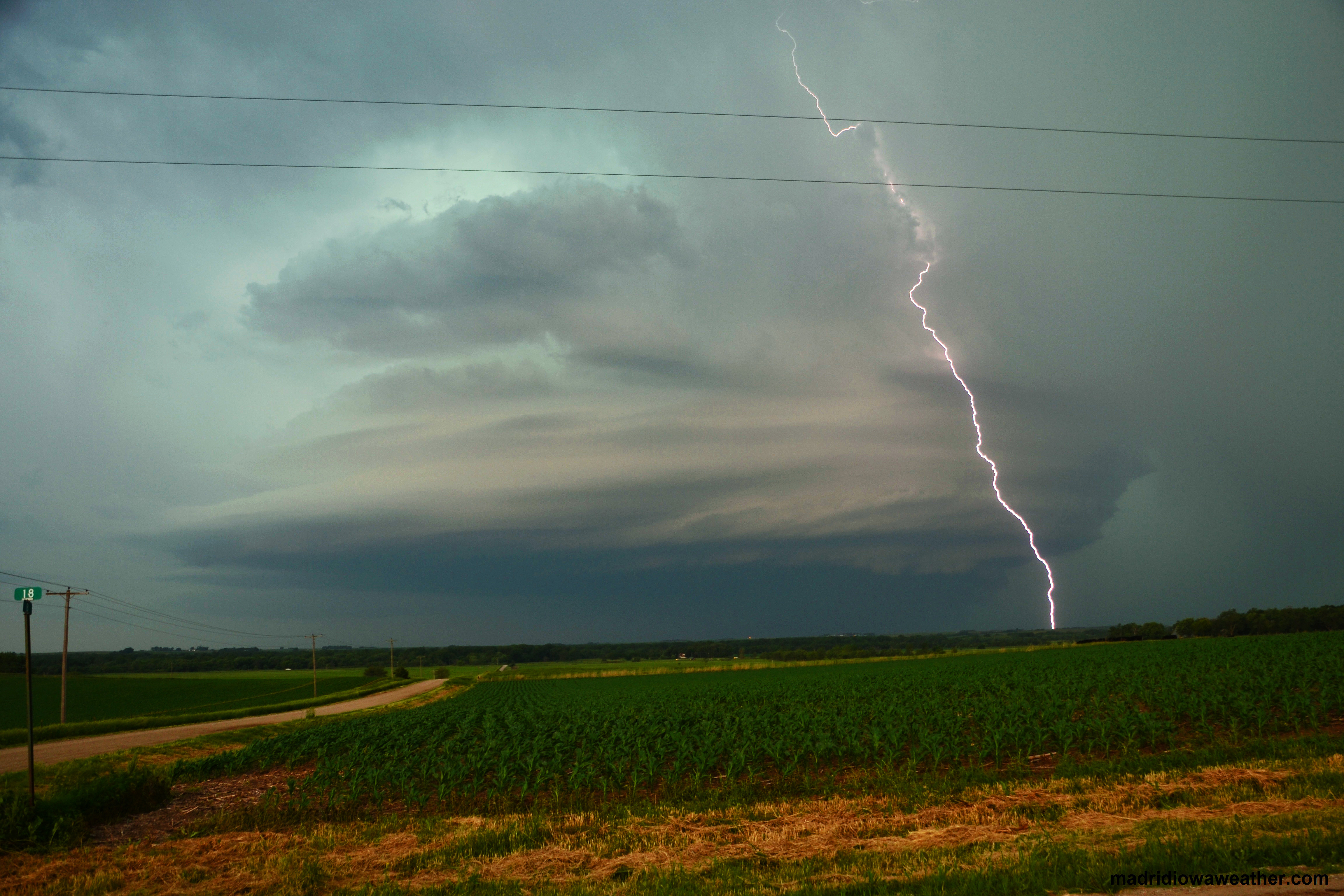
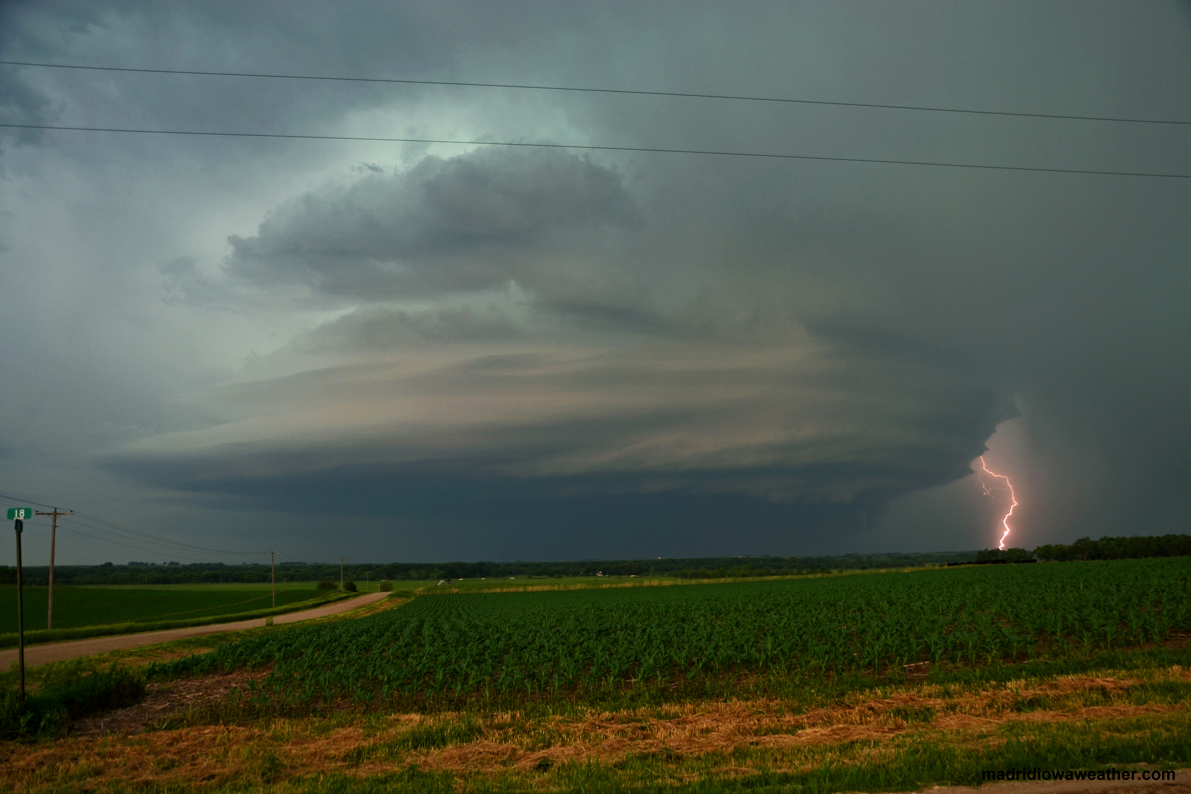
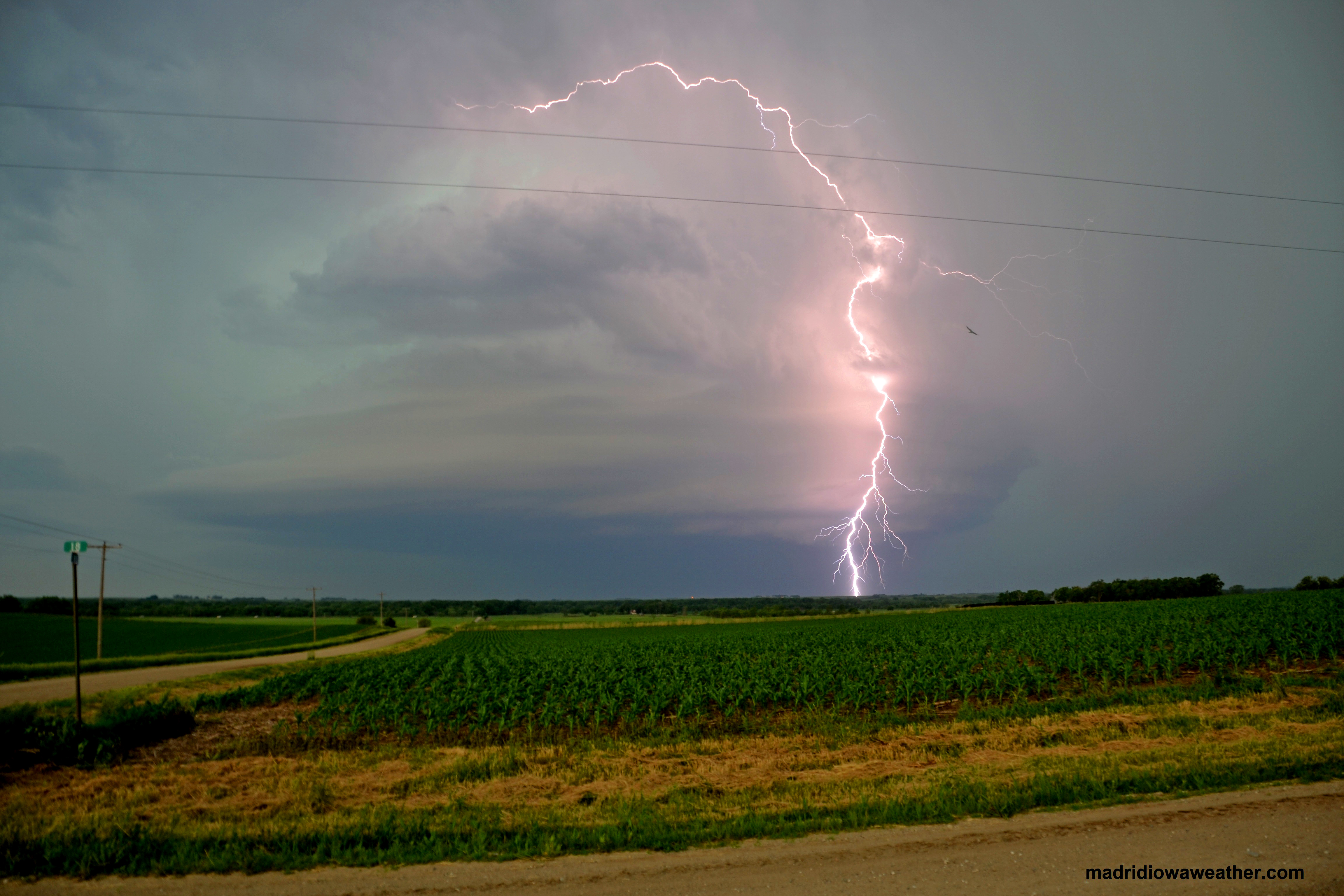
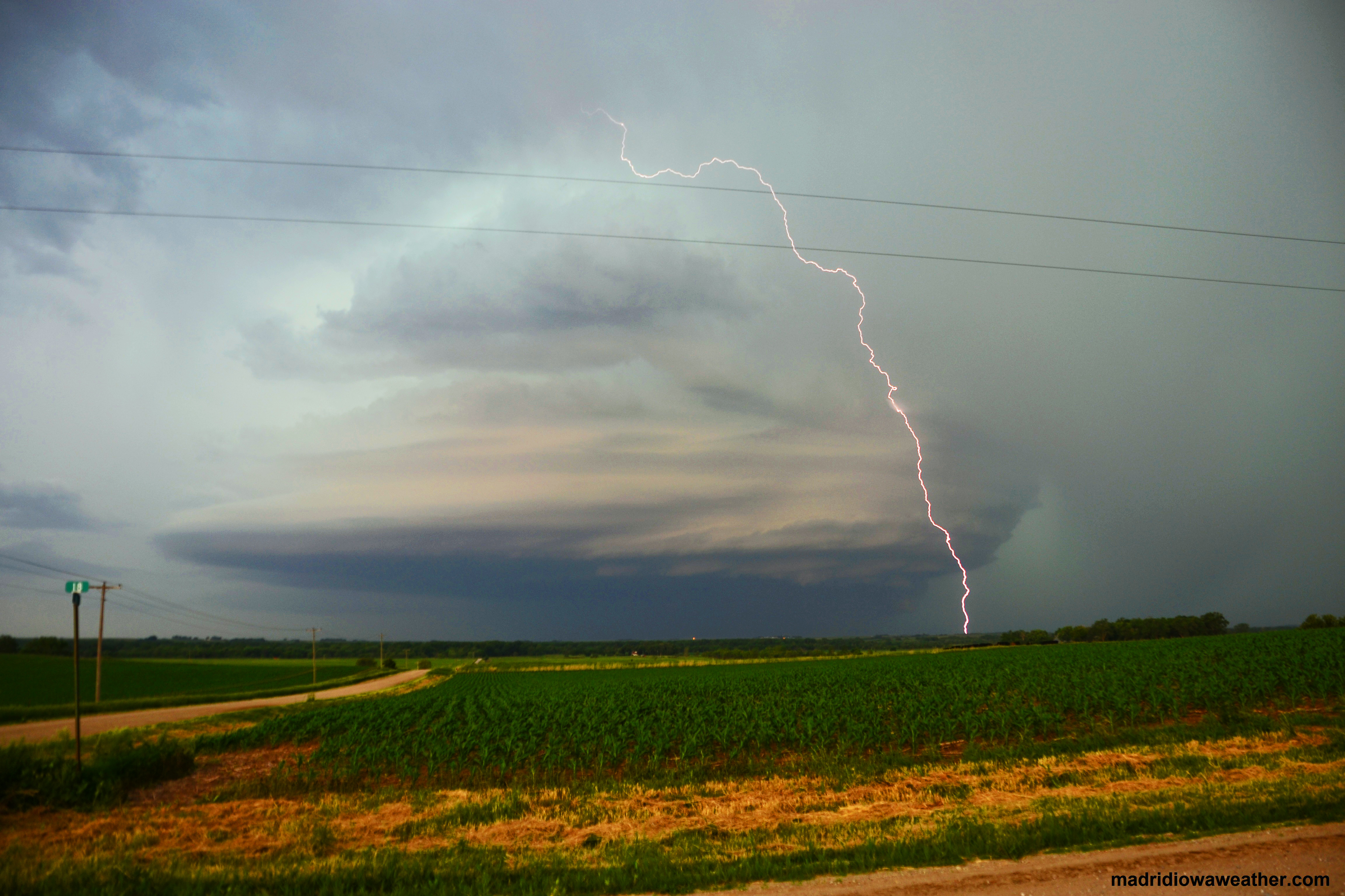
As the storm developed it began to show signs of rotation so we jumped in the car and got south of West Point by a few miles. We could see a lowering in the base so we moved a few miles to the east on a gravel road on a hill top to get a view. And a view we got. The cell produced a monster sized mesocyclone that looked like a mothership coming in for a landing. Many chasers where on this storm and its well documented. Some chasers have said it was the most photogenic storm of 2013.
As we watched the storm it began to produce tremendous amounts of lightning. I not only got great pictures and video, but I got my first really good lightning photos from this storm. Eventually the storms from the SW merged with this storm and they developed into a squall line that eventually moved across Iowa. After 2 previous chases both into Nebraska where busts this was a nice reward.
Photos from the 6-14-2013 chase day.
